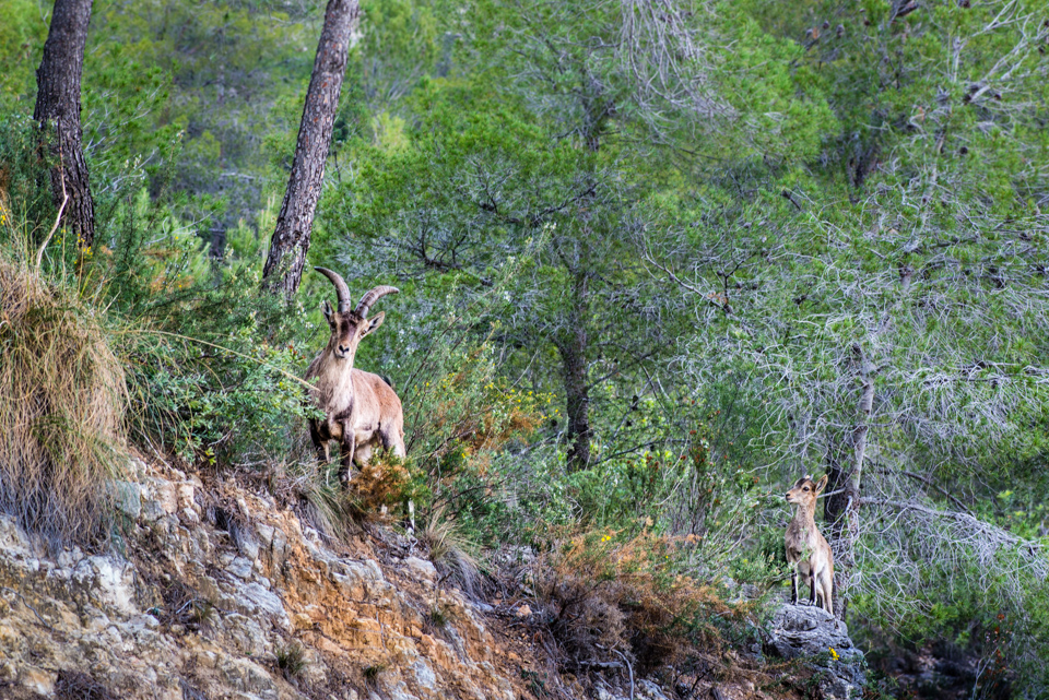
MOUNTAIN
«Mountains, routes, immemorial footprints
enchanted forests, round trip experiences…»

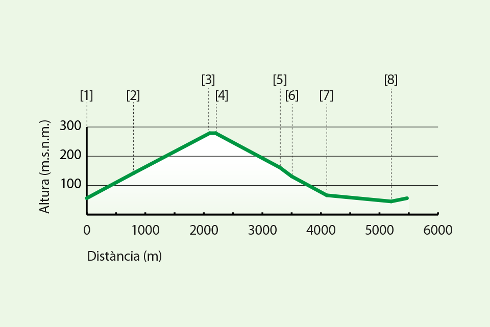
SL CV 17
| Distance | 4370 m |
| Approximate Time | 60′ |
| Type of route | Circular |
| Difficulty | Medium |
| Maximum altitude | 233 m.a.s.l. |
| Minimum altitude | 74 m.a.s.l. |
| Total elevation gain | 258 m |
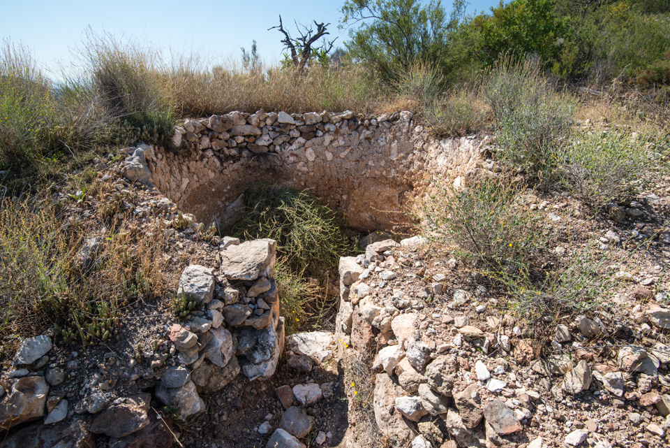
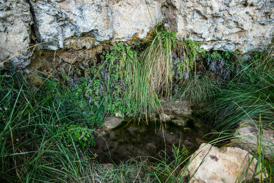
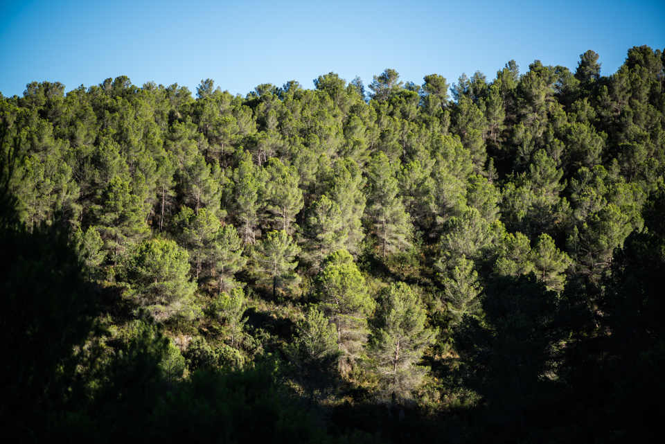
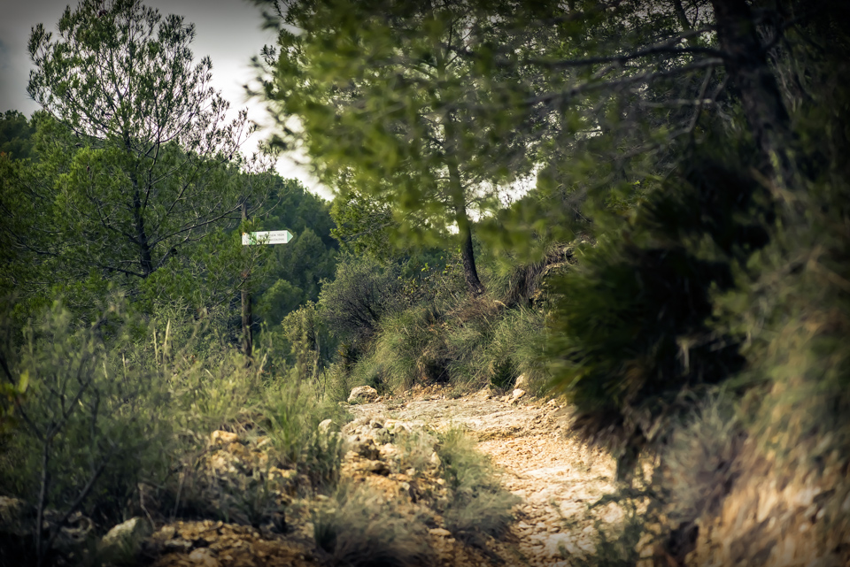
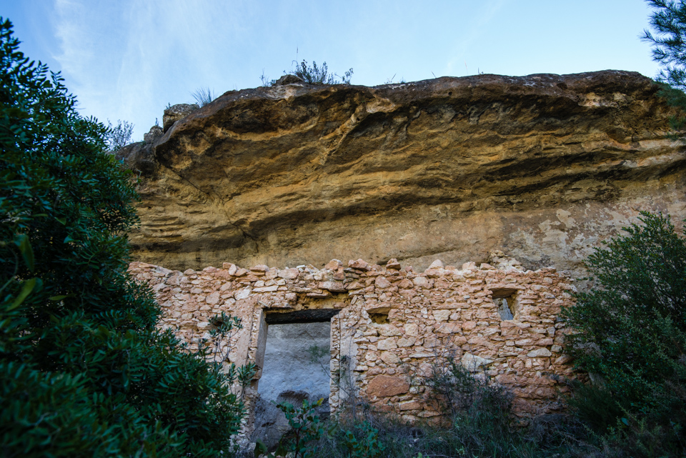
La Costa’s trail goes deep into the mountain until reaching La Ceja’s lane. The trail is surrounded by Mediterranean woods that overshadow the path, and it is refreshed by water deposits such as Bartolo’s fountain. You’ll take La Tosca’s trail to return to the village, where you’ll find a couple of lime ovens: ethnographic witnesses of ancient jobs.
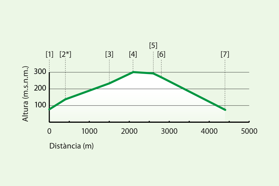
- [1] Start of the route
- [2] Water deposit
- [*] Start of La Costa’s Trail
- [3] Bartolo’s Fountain
- [4] La Ceja’s Lane
- [5] La Tosca’s Trail
- [6] Lime Oven
- [7] Av. Oest

SL CV 17.1
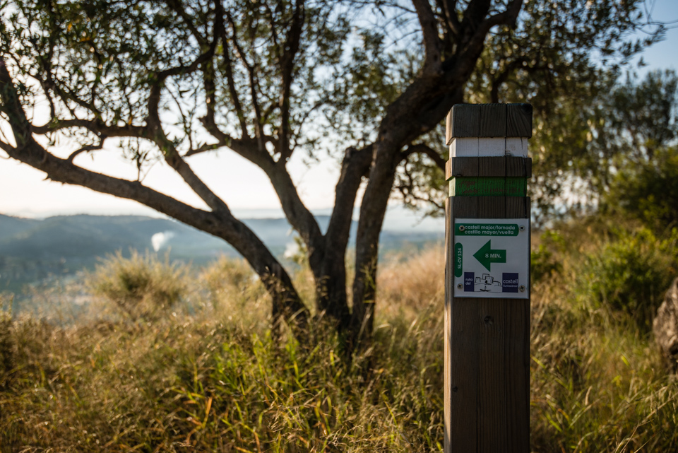
L’OMBRIA DEL CASTELL I VEDÀ ROUTE
| Distance | 5320 m |
| Approximate Time | 1h 14′ |
| Type of route | Circular |
| Difficulty | Medium |
| Maximum altitude | 280 m.a.s.l. |
| Minimum altitude | 49 m.a.s.l. |
| Total elevation gain | 260 m |
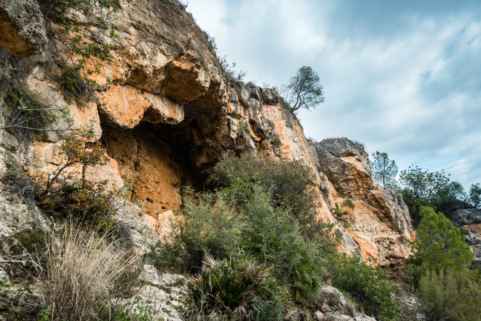
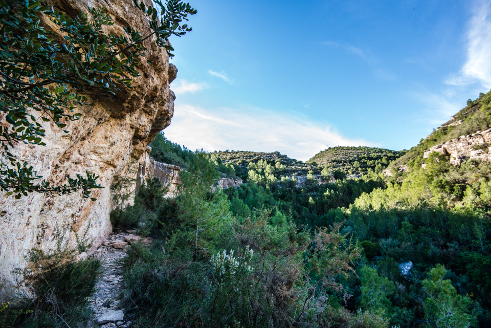
If you take L’Ombria del Castell trail and go up until reaching Bancal Roig’s path, you’ll see a landscape of high ecological and environmental value protected by Sumacàrcer’s castle’s crags. Then, you’ll take the Vedà trail to descend the mountain, which features outstanding components such as caves. You’ll return to the village taking El Viro’s path and walking along the Xúquer’s riverbank.
- [1] Start of the route
- [*] Entrance to L’Ombria’s Trail
- [2] Lime oven
- [3] Bancal Roig’s path
- [4] Veda’s Trail
- [5] Lime oven
- [6] Veda’s Trail’s caves
- [7] El Viro’s path
- [8] El Viro’s fountain
SL CV 17.2
PUNTAL DEL MORICO I MURTERAL ROUTE
| Distance | 10.230 m |
| Approximate Time | 2h 21′ |
| Type of route | Circular |
| Difficulty | Medium |
| Maximum altitude | 309 m.a.s.l. |
| Altitud mínima | 61 m.s.n.m. |
| Total elevation gain | 460 m |
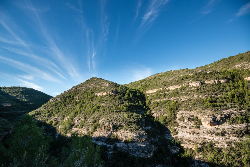
The itinerary starts at Xúquer’s riverbank and Escalona’s canal, taking Santo Domingo’s path. The trail reaches Puntal del Morico (222 m.a.s.l.) and Bufante’s farmyard and continues up until La Ceja’s lane, which crowns the route. You’ll descent going through Murteral’s ravine’s path, a landscape of high environmental and geological value, where constructions such as Picante’s cave stand out.
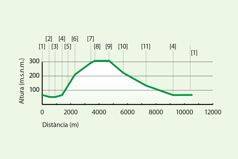
- [1] Start of the route, C. de Portixol (football pitch)
- [2] Llop’s ravine.
- [3] Antón’s ravine.
- [4] Puntal del Morico’s Trail
- [5] Lime oven
- [6] Puntal del Morico
- [7] Bufante’s farmyard
- [8] La Ceja’s lane
- [9] Murteral’s Trail
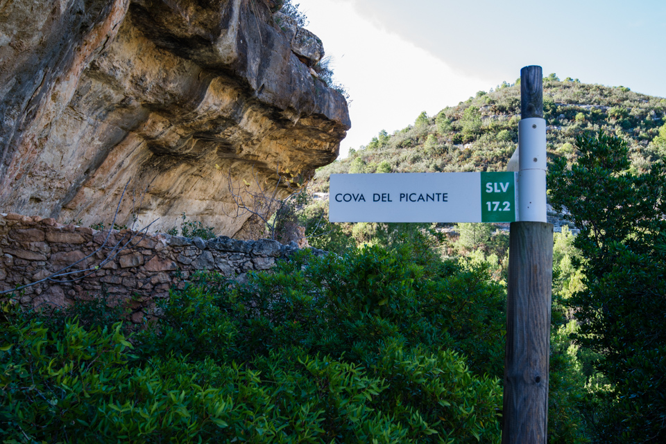
- [10] Picante’s cave
- [11] Connection to Sabater’s fountain
SL CV 124
CASTELL DE SUMACÀRCER ROUTE (Sumacàrcer’s Castle Route)

| Distance | 2.670 m |
| Approximate Time | 1h 30′ |
| Type of route | Circular |
| Difficulty | Easy |
| Maximum altitude | 162 m.a.s.l. |
| Minimum altitude | 56 m.a.s.l. |
| Total elevation gain | 112 m |
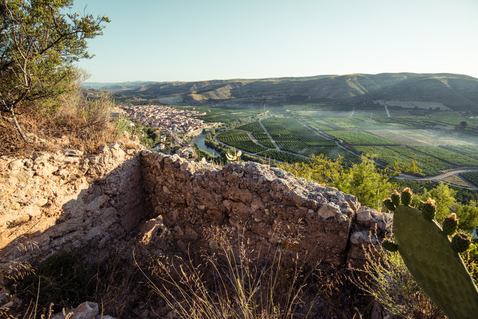
This route has explanatory panels that describe the landscape, flora, fauna, traditional jobs and of course, Sumacàrcer’s castle. This castle is an impressive Islamic construction with an amplification that dates back to the late middle Ages. You will be immersed in the history of the village. Furthermore, you should take a look and enjoy the breathtaking, panoramic views.
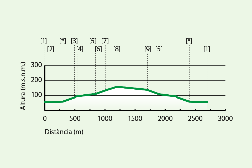
- [1] Start of the itinerary
- [2] Castle’s viewpoint
- [*] Start of the route
- [3] Sumacàrcer’s viewpoint
- [4] Lime oven
- [5] Bent-entrance gateway
- [6] Fortress
- [7] Citadel
- [8] Late middle-ages Castle
- [9] Highest part of the castle
- [5] Bent-entrance gateway