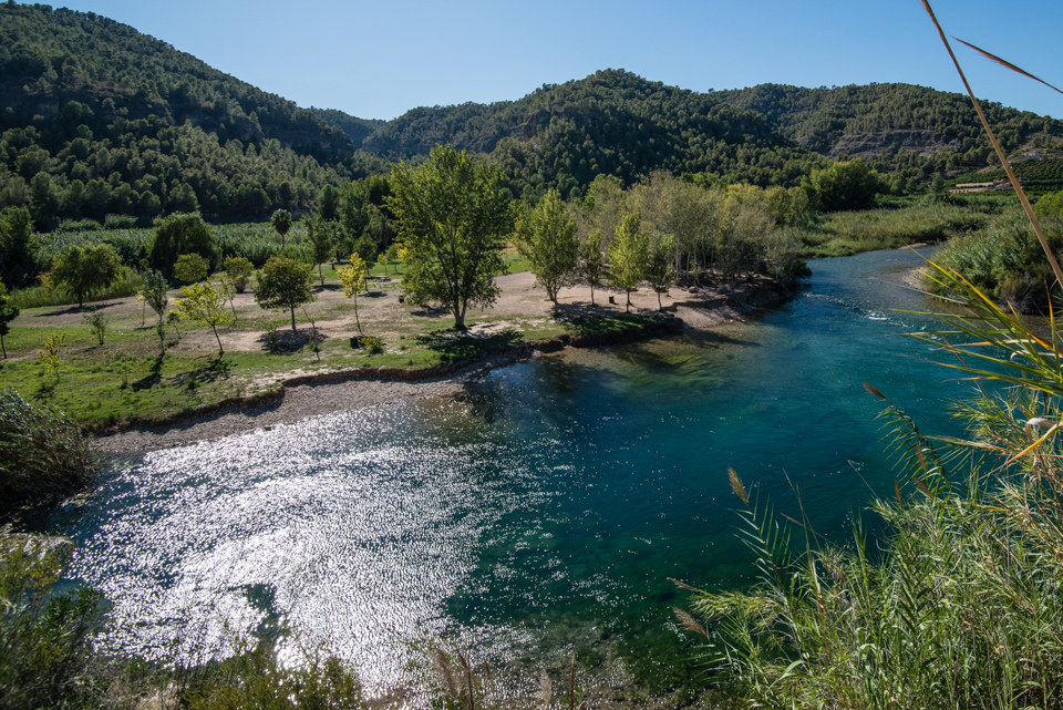
River
«Water garden, biodiversity, Xúquer River
crystalline water, 2km to float downstream…»

IE FRANC
Ecofluvial itinerary
| Distance | 1.380 m |
| Approximate Time | 60′ |
| Type of route | Circular |
| Difficulty | Easy |
| Maximum altitude | 47 m.a.s.l. |
| Minimum altitude | 41 m.a.s.l. |
| Total elevation gain | 10 m |
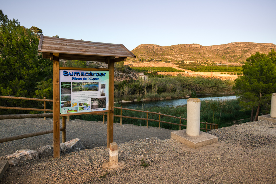
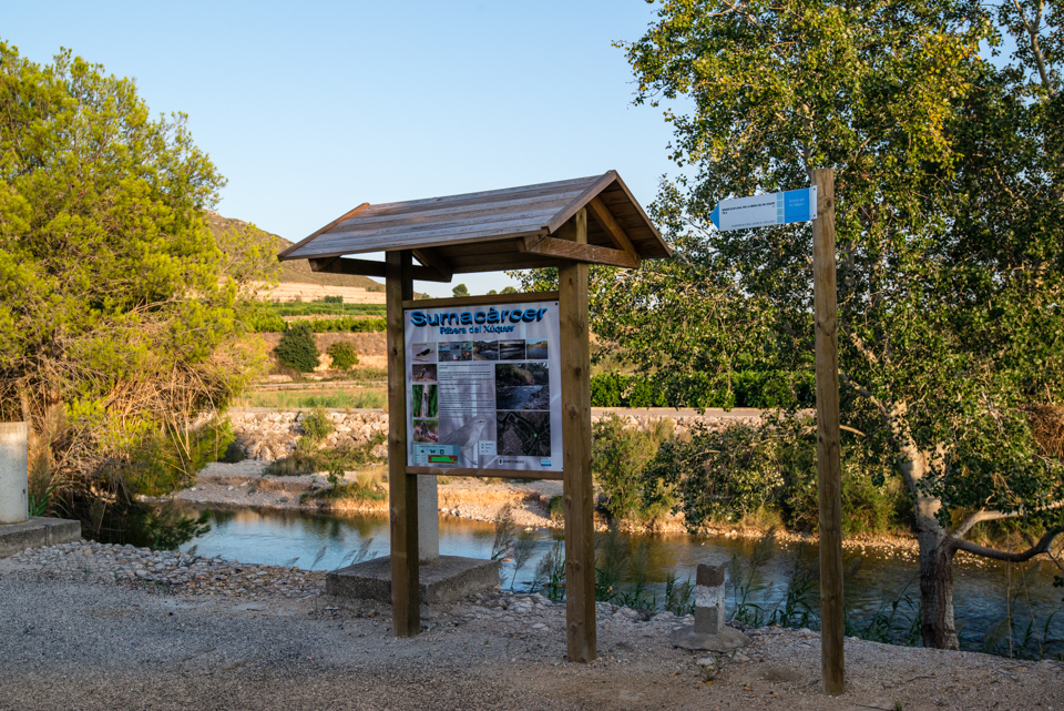
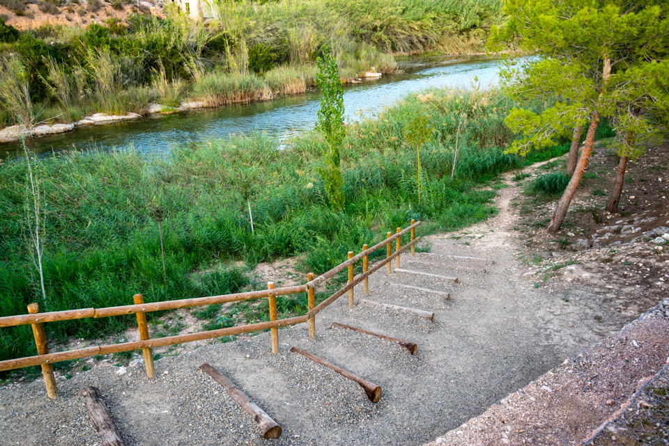
The ecofluvial itinerary is an easy lineal trail of 1.380m long. This short walk by the Xúquer River has explanatory panels about the history, biodiversity, flora, fauna, the use, etc. which is perfect for families and for carrying out educative activities such as landscape interpreting. You can find this route at the end of Projecte C street, 200m away from the village.

- [1] Start of the route
- [2] Start of the itinerary
- [3] Fauna, explanatory panel
- [4] Arboretum
- [5] Xúquer River’s fauna, explanatory panel
- [6] Uses of the river, explanatory panel


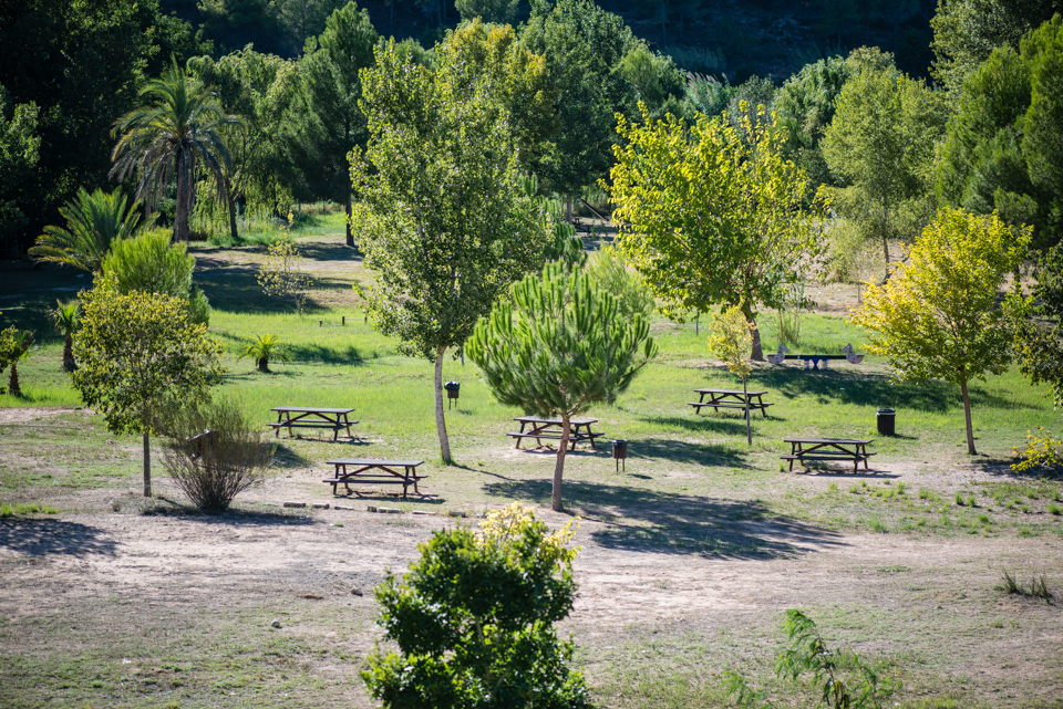
The l’Argoletja Isle
Recreation area
The Argoletja Isle is a municipal natural spot that covers 2 square kilometres. This meander was recovered in 2006 aiming at:
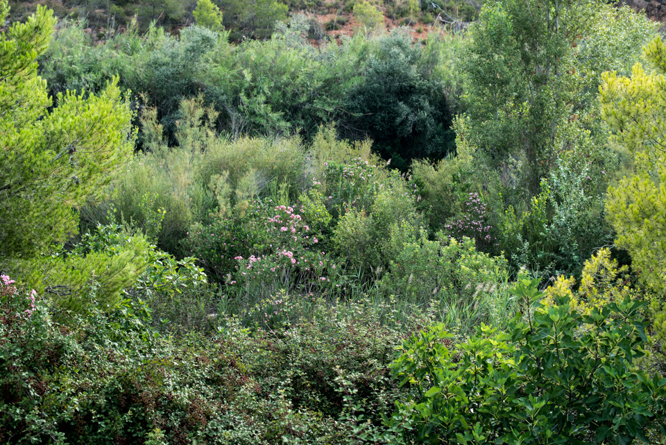
- Protecting the fluvial ecosystem rich in plant species, both terrestrial and aquatic.
- Provide a ludic use for the people as a recreational centre with educational and cultural purposes.
The floral microreserve and the figure of the SCI (Site of Community Importance) in all Xúquer River’s bed turn this landscape into an area of high ecological value.
The Isle also has explanatory panels, games for children, picnic tables, bins and regulated parking during summer.
USES
This is a sensitive area of high ecological value, so avoid making loud noises and pulling up plants, throw the rubbish into the bin, and avoid damaging the environment.
The Xúquer River is an unguarded flood-prone area with strong currents. Enjoy with precaution and responsibility.
- Camping is not allowed
- Lighting fires is not allowed
- Pets are not allowed
- Wheeled vehicles are not allowed